Mapping
Mapping
After the rubble construction, a process of mapping was established. The aim was to get all the information necessary to be able to reconstruct the same pile of rubble after its deconstruction.
In order to map the rubble, 3D models and a top view image with grid were developed to help in the reconstruction process. Two cameras were settled to film the whole process of deconstruction.
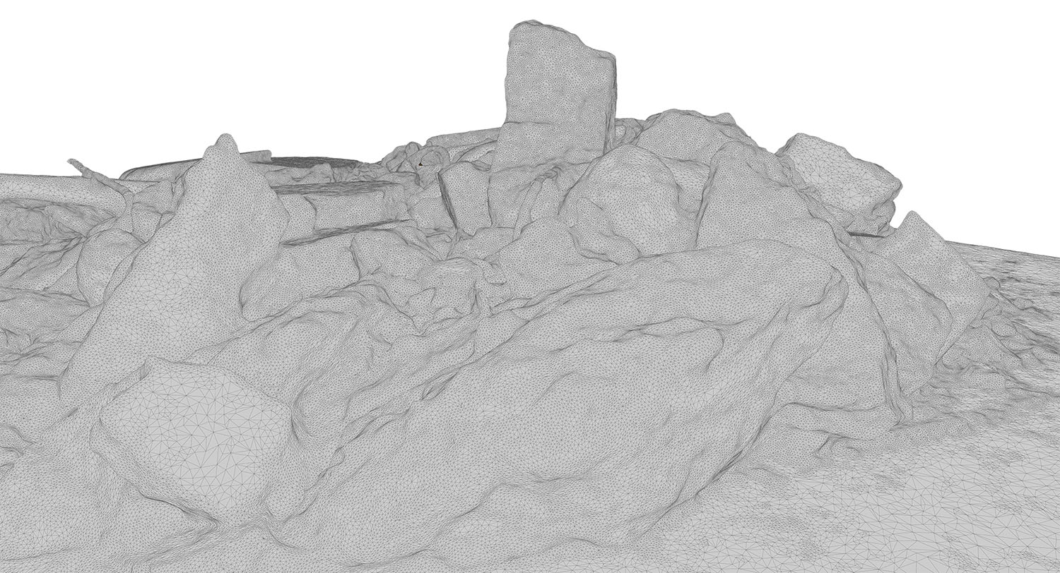
3D model of the rubble made with the photogrammetry software Autodesk ReMake


